
The smart city, synced to one dashboard
Smart Traffic syncs everything a smart city's streets generate — poles, sensors, signals, cameras — into one live Gisify dashboard: a digital twin of the road network that improves operations, reduces risk and sharpens every traffic decision.
Overview
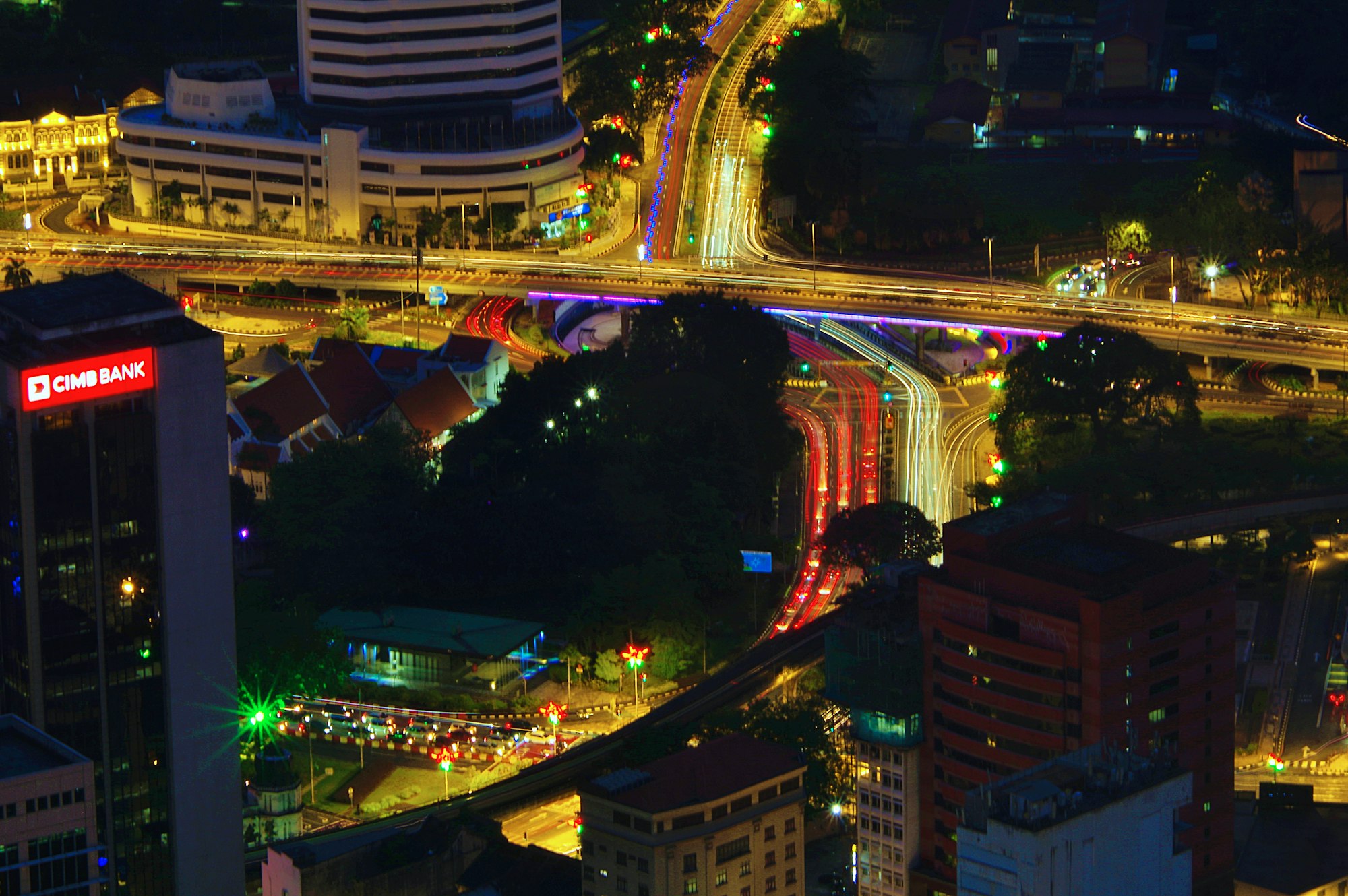
Our cities are transforming and rapidly becoming digital. Smart poles, roadside sensors, CCTV, adaptive signals and EV chargers each produce a stream of live information — but the value only emerges when those streams are brought together. Synchronised into a single operational picture, they improve traffic operations, reduce congestion and incident risk, and let cities make decisions on evidence rather than instinct.
Smart Traffic is Mapify's framework for doing exactly that. Geographic information system technology is its foundation: every pole, sensor, camera and signal is registered as a live geospatial node, and its readings sync continuously into Gisify. The dashboard becomes a digital twin of the street — a virtual representation of the road network and the infrastructure on it that stays in step with the real world, minute by minute.
Malaysian cities are already on this path. The 5G Intelligent Pole pilot in Kuala Terengganu — part of the Terengganu Smart City Blueprint 2040 — is upgrading conventional lighting poles into multi-functional smart assets combining IoT sensors, 5G connectivity, digital signage and EV charging on a single column. Nationwide, councils are pursuing Malaysia Smart City Framework (MSCF) certification, with the smart city market projected to grow more than 27% a year through 2034. Smart Traffic puts that investment to work on the map.
At a glance
- 5G
- smart pole pilot, Kuala Terengganu
- 2026
- MSCF certification push by councils
- 27%
- annual smart city market growth to 2034
- 24/7
- live monitoring from one dashboard
5G
smart pole pilot, Kuala Terengganu
2026
MSCF certification push by councils
27%
annual smart city market growth to 2034
24/7
live monitoring from one dashboard
What Smart Traffic delivers
Smart pole asset registry
Every pole and its payload — luminaires, sensors, displays, EV chargers — registered, located and lifecycle-managed in Gisify.
Real-time city sync
Feeds from roadside sensors, CCTV and number-plate recognition sync continuously onto the road network — a moving picture of the city that is never out of date.
Congestion & incident analytics
Corridor heatmaps, journey-time trends and automatic incident flagging that show where intervention pays off.
Adaptive signals & signage
Push timing-plan changes and public messaging to junctions and digital displays, then measure the effect on flow.
EV charging & infrastructure siting
Use demand, grid and traffic layers to pick the right poles for charging points and new sensor rollouts.
Command-centre dashboards
One operational twin of the city for councils and concessionaires — every system in a single Gisify view, hosted with Malaysian data residency.
How the city syncs to Gisify
Capture & integrate
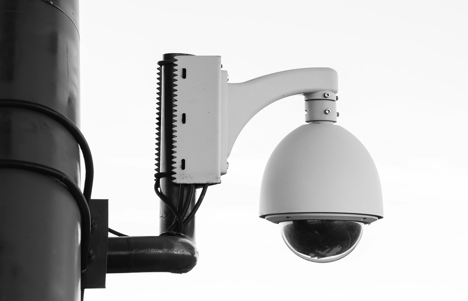
Every smart pole, sensor and signal on the street becomes a live geospatial node. Smart Traffic ingests their feeds and registers the assets behind them in Gisify — one data model for the whole street.
- Smart pole asset registry — poles, luminaires, sensors, displays, EV chargers
- Live ingestion from roadside sensors, CCTV and number-plate recognition
- Signals, digital signage and charging systems connected to one platform
- Open integration with council and concessionaire back-office systems

Real-time & visualise
The dashboard stays in step with the road. Operators watch the network move — not yesterday's report, but the street as it is right now.
- Live operating picture of the whole road network
- Corridor heatmaps and journey-time displays
- Automatic incident flags the moment patterns break
- Command-centre dashboards for councils and concessionaires
Analyse & predict
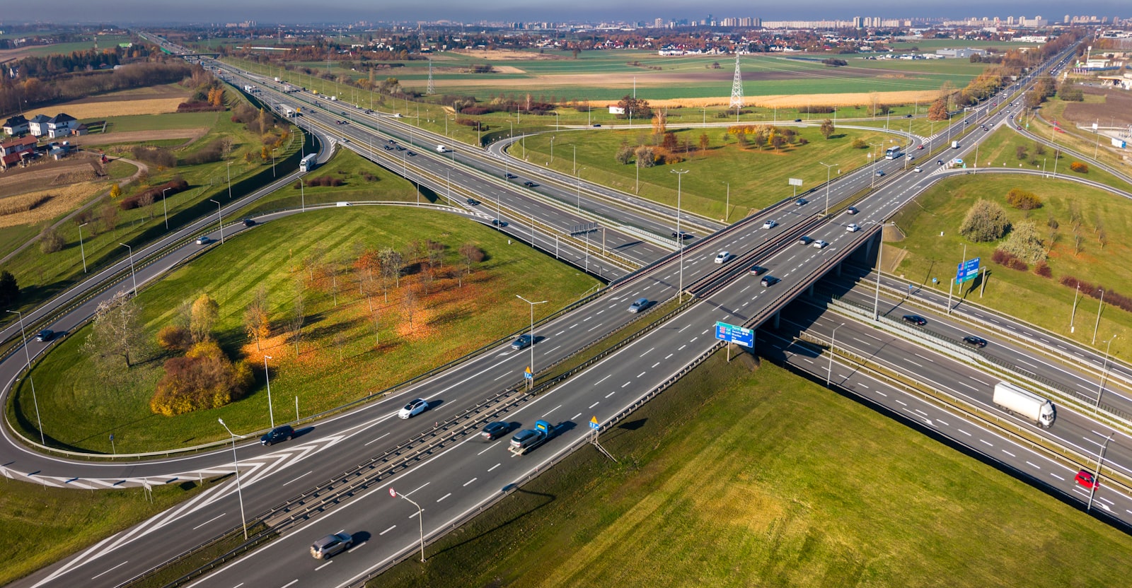
With the street synced into Gisify, the hard questions get easier: where does congestion build, what causes it, and where will intervention pay off?
- Congestion and bottleneck analytics by corridor
- Journey-time trends across days, seasons and events
- Incident pattern detection and risk hotspots
- Siting analysis for EV chargers and new sensor rollouts
Act & optimise
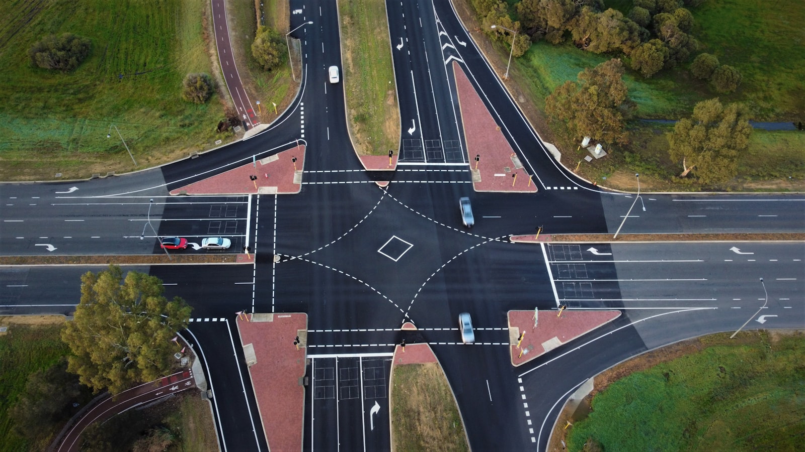
Close the loop. Push changes to the street, then measure their effect on the same dashboard that suggested them.
- Adaptive signal timing plans pushed to junctions
- Public messaging to digital displays in one click
- Before-and-after effect measurement on real flows
- Continuous optimisation, corridor by corridor
Who it's for
Explore the rest
Capability
GisiBot
GisiBot is Mapify's autonomous quadruped programme, built on the AgiBot D1 Edu development platform. Every item it detects, image it captures and reading it takes — of the people and objects around it and the environment it walks through — is geo-tagged and integrated straight into the Gisify dashboard.
Learn moreCapability
Security Audit & Assessment
Security Audit & Assessment as a standing discipline — every Gisify deployment ships with built-in security testing and is engineered for 99.99% uptime security.
Learn moreCapability
Spatial Analytic
The core methods of professional spatial analysis — proximity, overlay, network, cluster and surface analysis — operationalised in Gisify for everyday decision-making.
Learn moreBring Smart Traffic to your organisation
Talk to our team about a demonstration, a pilot or a full rollout.