
Everything it sees lands on your map
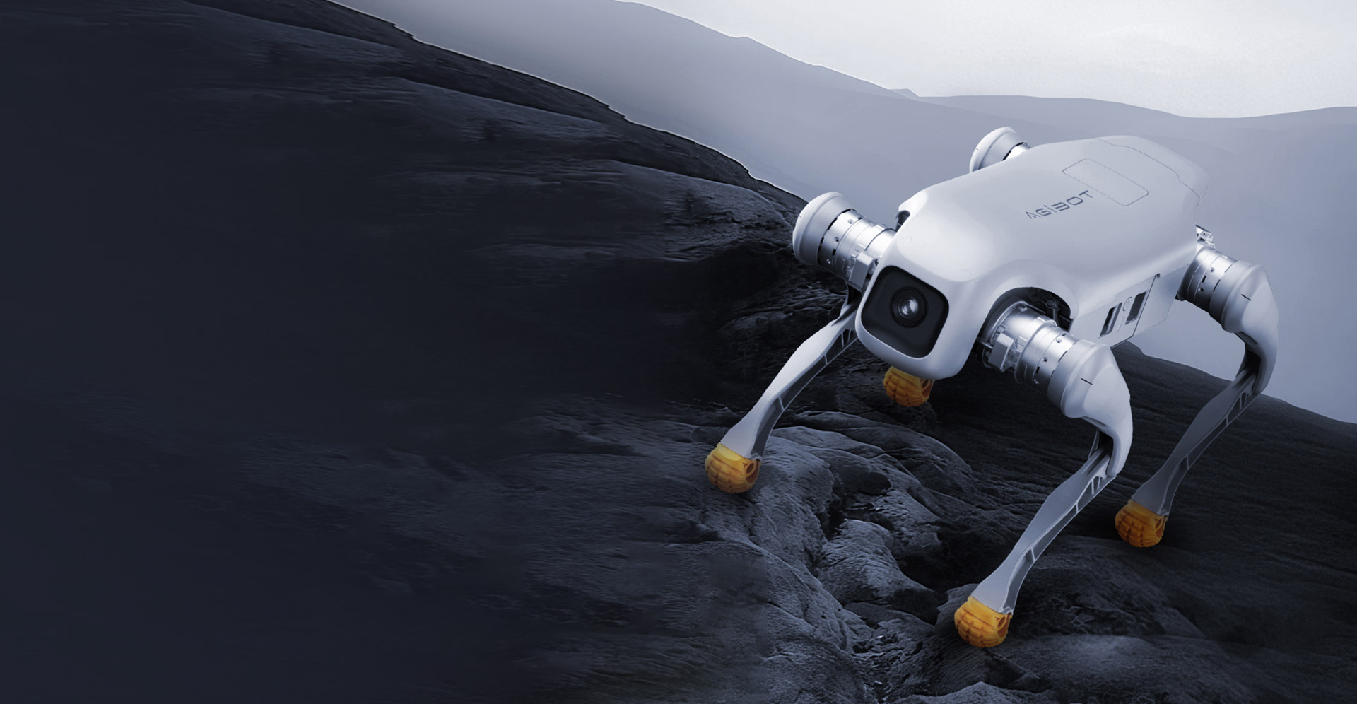
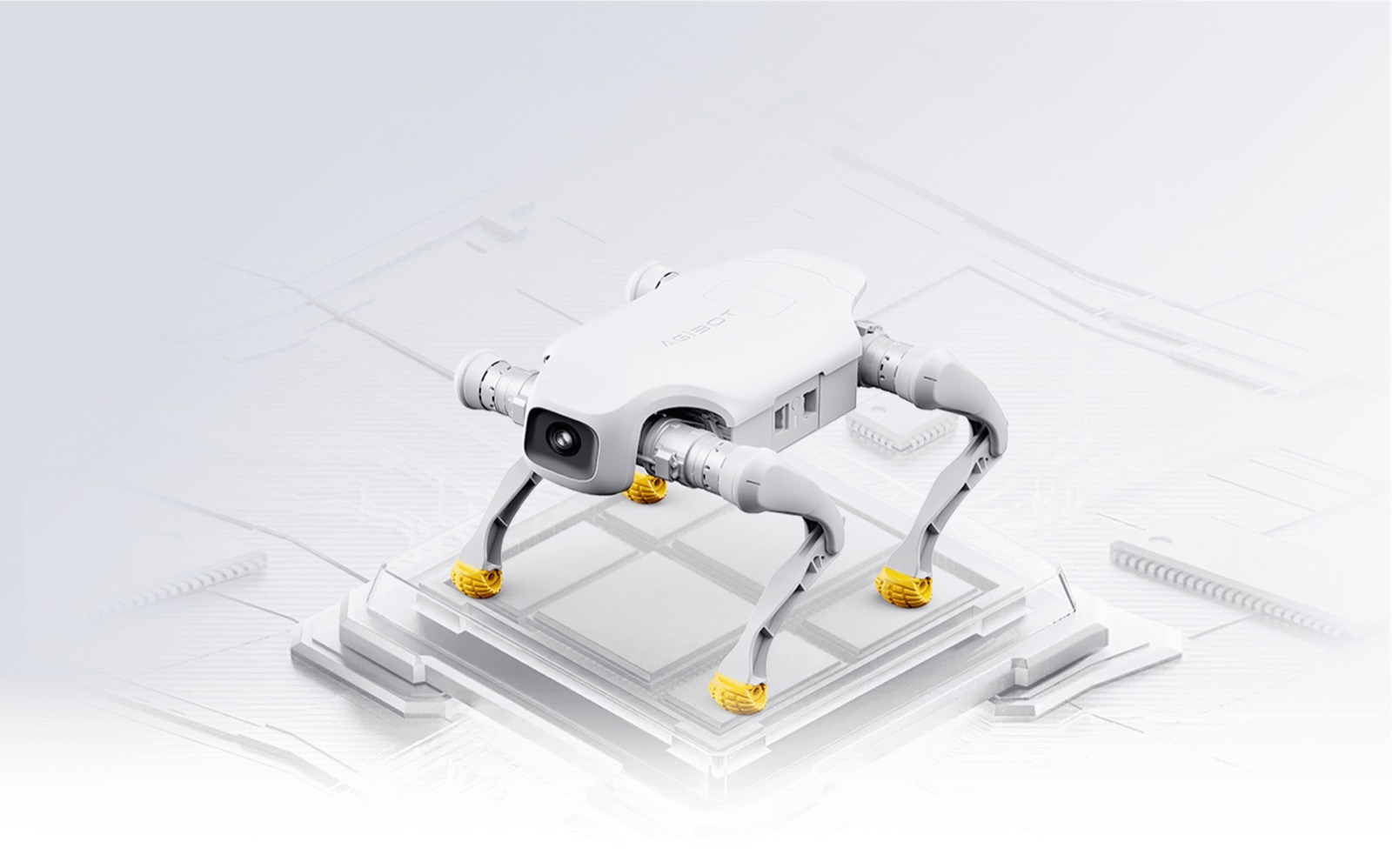
GisiBot is Mapify's autonomous quadruped programme, built on the AgiBot D1 Edu development platform. Every item it detects, image it captures and reading it takes — of the people and objects around it and the environment it walks through — is geo-tagged and integrated straight into the Gisify dashboard.
Overview
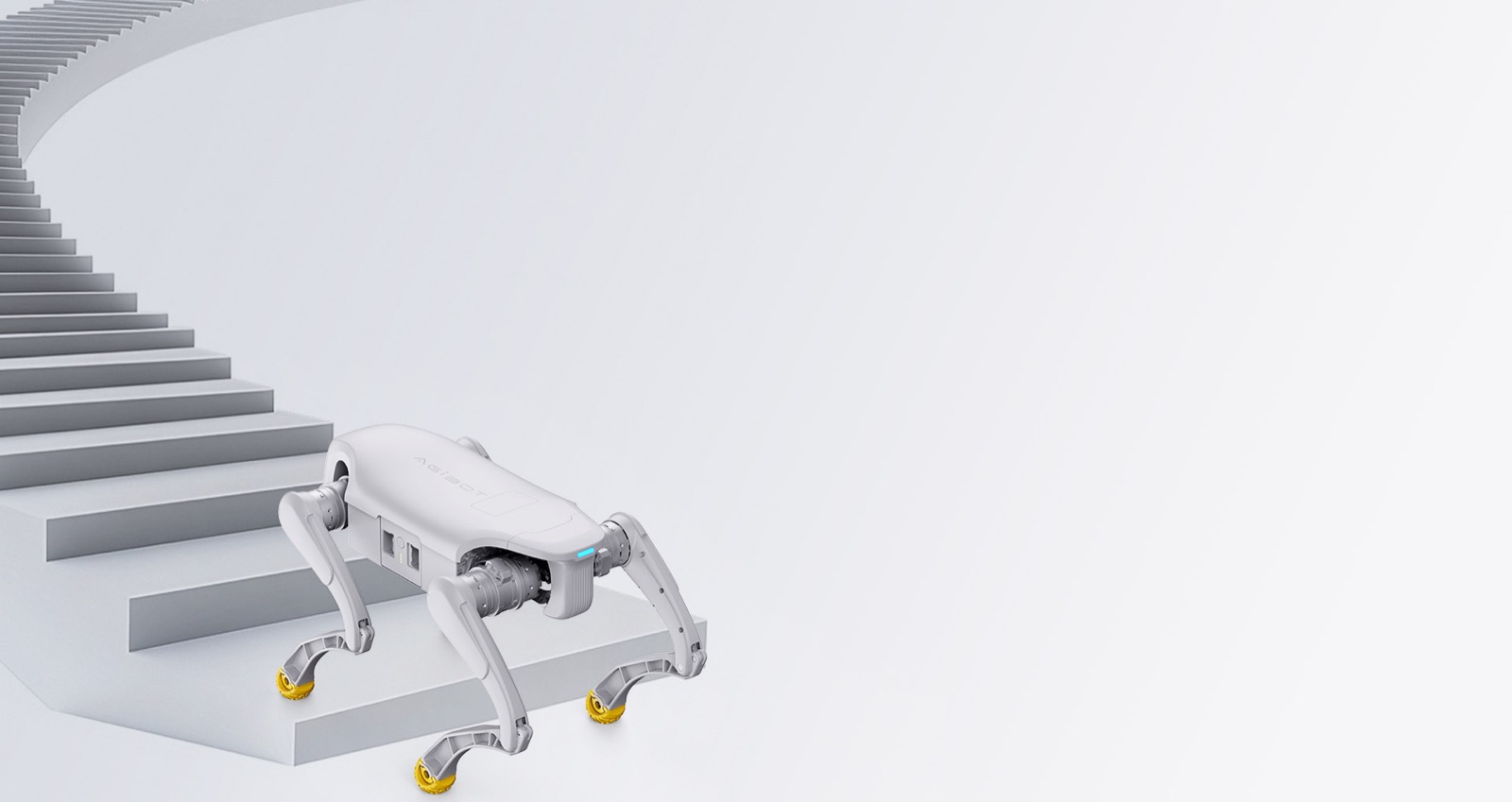
GisiBot starts with the AgiBot D1 Edu, the development edition of AgiBot's all-round quadruped — a 15.5 kg platform that runs at up to 3.5 m/s, climbs 16 cm stairs, carries up to 8 kg of mission payload across roughly 6 km per charge, and opens its full SDK with standardised expansion interfaces for LiDAR, depth cameras, RTK positioning and 4G/5G modules.
On that platform, Mapify's secondary development adds what the field actually needs: natural gesture control, intelligent follow-me, and swappable sensing payloads. And everything GisiBot captures flows one way — into Gisify. Items and objects it detects, images from its onboard cameras, and readings from the environment around it are RTK-positioned, streamed over 4G/5G and landed on the dashboard as live, geo-tagged layers: ground truth you can analyse the moment the robot collects it.
At a glance
- 3.5 m/s
- top speed on the D1 Edu platform
- 8 kg
- mission payload capacity
- 6 km
- range per charge
- SDK
- full secondary-development access
3.5 m/s
top speed on the D1 Edu platform
8 kg
mission payload capacity
6 km
range per charge
SDK
full secondary-development access
What GisiBot captures for Gisify
Gesture control
Command GisiBot with hand signals — start, stop, heel and task triggers — no controller needed when hands are full on site.
Follow-me mode
GisiBot locks onto its operator and follows through plantations, sites and corridors, carrying instruments and logging the route as it goes.
Item & object detection
Onboard vision spots people, assets and objects of interest as GisiBot patrols — every detection logged in Gisify as a geo-tagged event with its image attached.
Environment sensing payloads
Soil moisture, multispectral crop canopy, PM2.5, CO₂ and gas sensing on the move — walk a site and bring back georeferenced environmental surfaces, not spot readings.
LiDAR & depth mapping
3D LiDAR and depth cameras capture terrain and structures as GisiBot patrols, ready for analysis in Gisify.
Live sync to Gisify
Centimetre-grade RTK positioning with 4G/5G telemetry — every item, image and reading lands on the dashboard in real time, tagged to the exact spot it was captured.
How GisiBot feeds Gisify
Detect
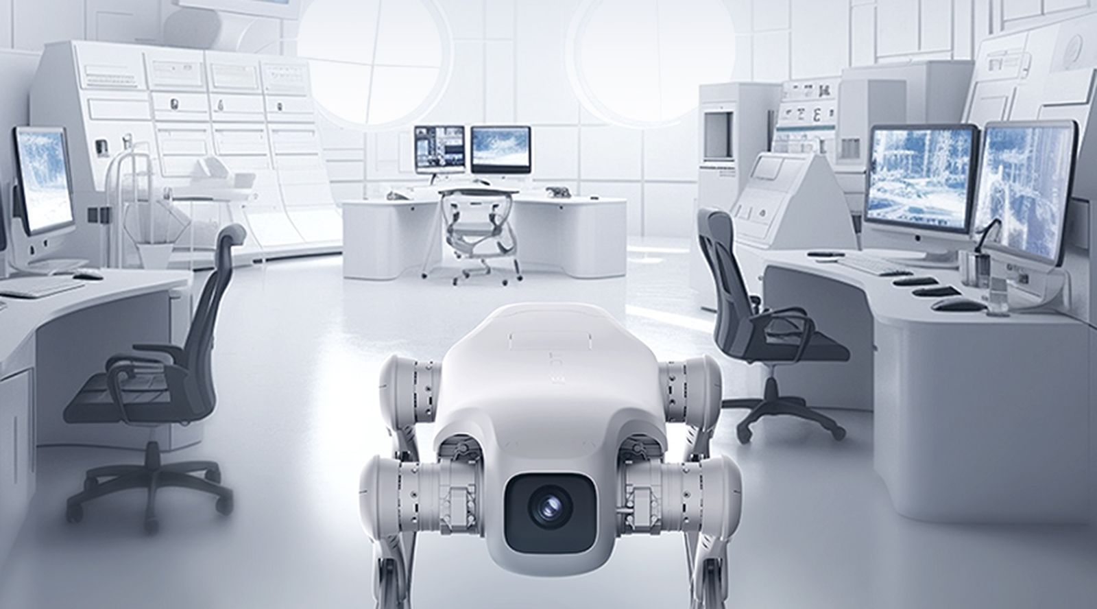
GisiBot's onboard vision identifies what matters as it patrols — and every detection lands in Gisify as a geo-tagged event with its image attached.
- People, assets and objects of interest spotted on patrol
- Detection events logged with image evidence
- RTK-positioned to the exact spot they were seen
- Reviewed, filtered and analysed on the dashboard
Sense
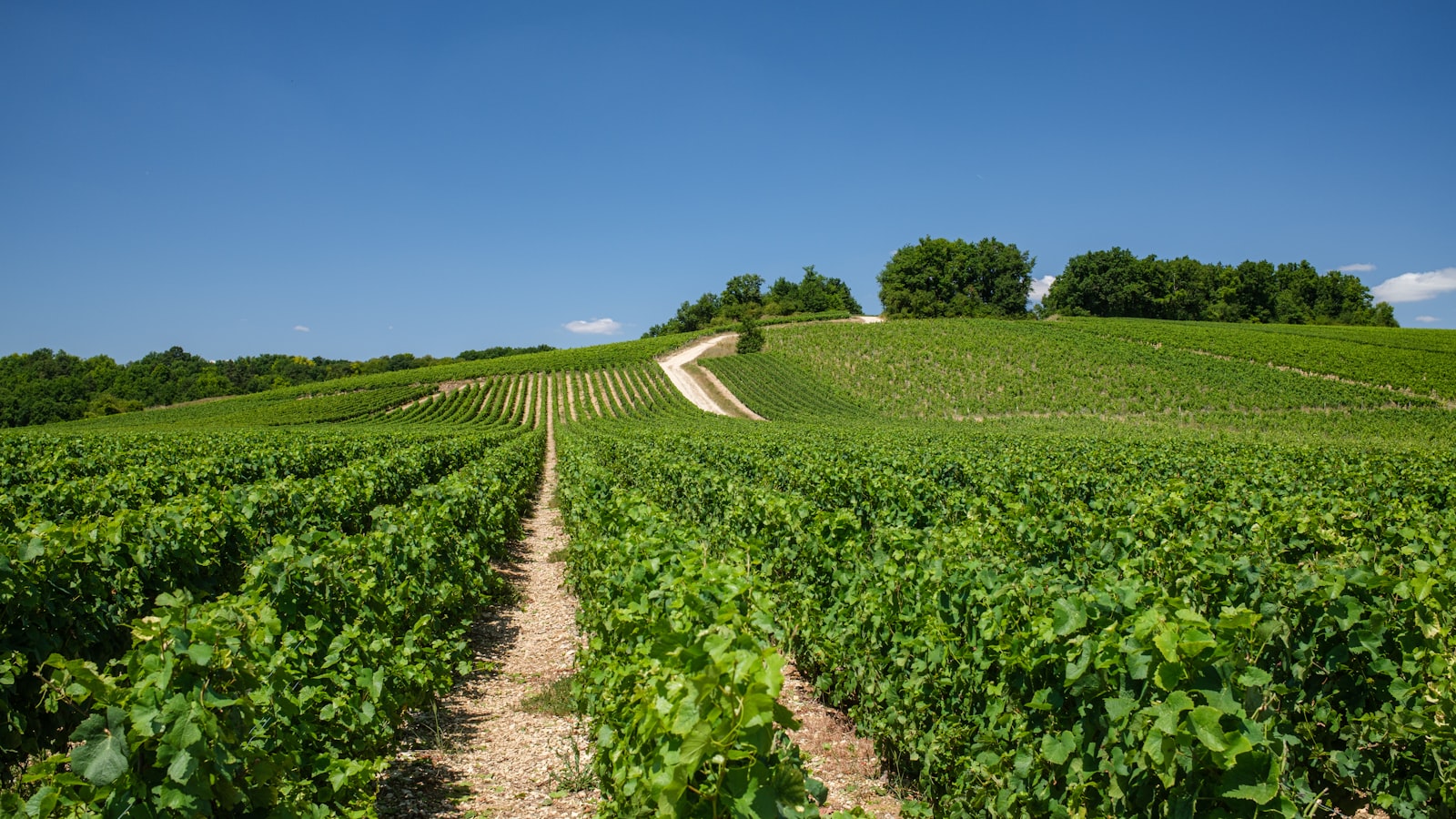
Swappable payloads turn GisiBot into a walking sensor station for agriculture and the environment.
- Soil-moisture probes for plantation health checks
- Multispectral crop-canopy imaging, row by row
- PM2.5, CO₂ and gas readings on the move
- Continuous environmental surfaces, not spot readings
Map
As it walks, GisiBot captures the shape of the world around it — terrain, structures and the routes between them.
- 3D LiDAR capture of terrain and structures
- Depth-camera mapping in tight or low-light spaces
- Route logging on every mission
- Analysis-ready 3D layers in Gisify
Sync
Everything GisiBot captures flows one way: into Gisify, live.
- Centimetre-grade RTK positioning on every reading
- 4G/5G streaming straight from the field
- Items, images and readings landing as live layers
- Ground truth ready to analyse the moment it's collected
Where GisiBot works
Explore the rest
Capability
Smart Traffic
Smart Traffic syncs everything a smart city's streets generate — poles, sensors, signals, cameras — into one live Gisify dashboard: a digital twin of the road network that improves operations, reduces risk and sharpens every traffic decision.
Learn moreCapability
Security Audit & Assessment
Security Audit & Assessment as a standing discipline — every Gisify deployment ships with built-in security testing and is engineered for 99.99% uptime security.
Learn moreCapability
Spatial Analytic
The core methods of professional spatial analysis — proximity, overlay, network, cluster and surface analysis — operationalised in Gisify for everyday decision-making.
Learn moreBring GisiBot to your organisation
Talk to our team about a demonstration, a pilot or a full rollout.